World Geographic Features Worksheet
A world geographic features worksheet is a helpful tool for students to explore and learn about the diverse entities and subjects that make up our planet's landforms.
Table of Images 👆
- Word Search Puzzles - Click Prop
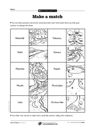
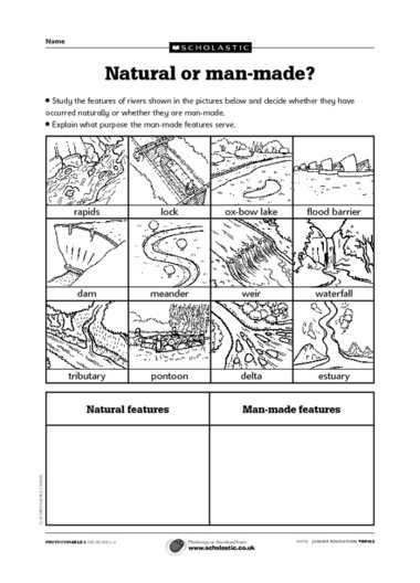
- River Features Worksheet
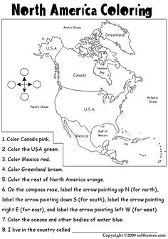
- North America Physical Map Worksheet
- Free Printable Geography Worksheets
- Free Social Studies Worksheets
- Physical Features of North America Worksheet Answers
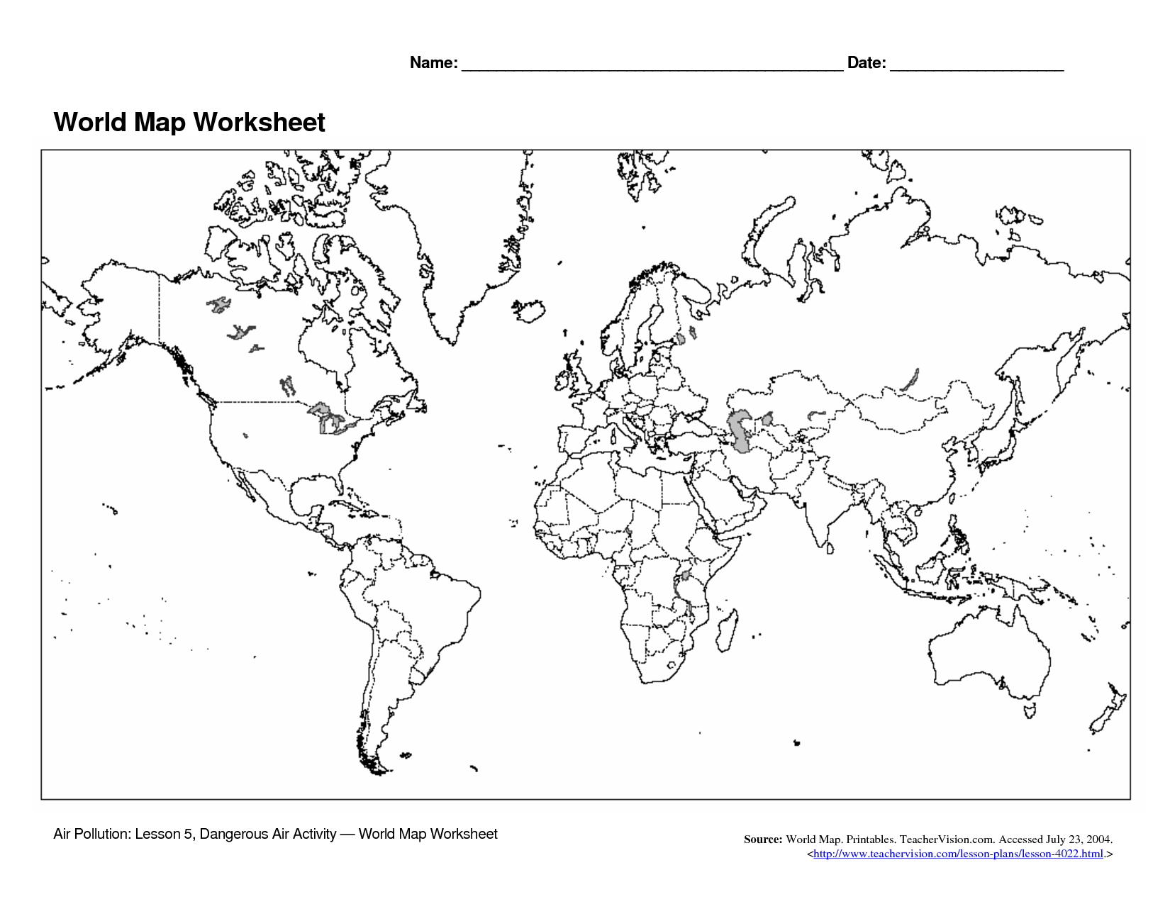
- World Map Worksheet
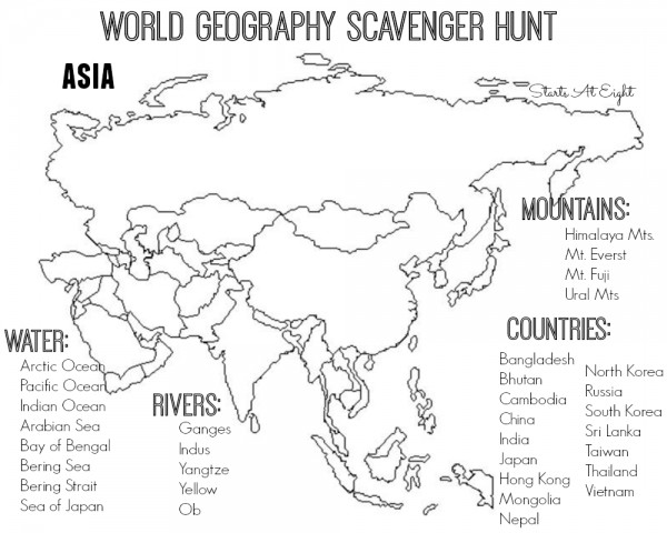
- Printable World Maps Asia Geography
- Geography World Climate Worksheets
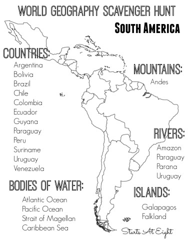
- World Geography Scavenger Hunt Printables
- Natural and Man-Made Feature Worksheet
More Other Worksheets
Kindergarten Worksheet My RoomSpanish Verb Worksheets
Cooking Vocabulary Worksheet
DNA Code Worksheet
Meiosis Worksheet Answer Key
Art Handouts and Worksheets
7 Elements of Art Worksheets
All Amendment Worksheet
Symmetry Art Worksheets
Daily Meal Planning Worksheet
What is a plateau?
A plateau is a flat elevated area of land that is usually higher than the surrounding regions, with a relatively flat top and steep sides. Plateaus can be formed through various geological processes such as tectonic uplift, volcanic activity, or erosion. They are often found between valleys or mountain ranges and can vary in size from a few square kilometers to thousands of square kilometers.
Define a peninsula.
A peninsula is a landform surrounded by water on three sides, connected to the mainland by a narrow strip of land.
What is a fjord?
A fjord is a long, narrow, deep inlet of the sea between high cliffs typically created by glacial erosion.
Explain what a delta is.
A delta is a landform that forms at the mouth of a river where it meets a body of standing water, such as a sea or lake. It typically consists of sediment, like silt, sand, and clay, that has been carried and deposited by the river as it flows into the standing water. Deltas are characterized by their triangular shape, and the deposition of sediment creates fertile land that is often used for agriculture.
What is the definition of an archipelago?
An archipelago is a group or chain of islands clustered closely together, usually surrounded by a large body of water like an ocean or sea.
Define a strait.
A strait is a narrow passage of water that connects two larger bodies of water and separates two land masses. It often acts as a natural boundary between regions or countries and is characterized by strong currents due to the restricted width of the passage.
Explain what a river basin is.
A river basin is an area of land that drains all the water falling within it into a common river system or body of water, such as a river, lake, or ocean. It includes all the land and waterways where precipitation collects and flows downhill into a central river. The boundaries of a river basin are defined by the surrounding topography, such as mountains or ridges, that separate it from neighboring basins.
What is an isthmus?
An isthmus is a narrow strip of land that connects two larger land areas and is surrounded by water on two sides. It is a geographical feature that separates two bodies of water but allows for easy travel between them.
Define a desert.
A desert is a barren, arid region characterized by a lack of vegetation and limited precipitation, typically receiving less than 10 inches of rainfall per year. Deserts often have extreme temperatures and harsh environmental conditions, making it difficult for many plants and animals to survive.
Explain what a mountain range is.
A mountain range is a series of connected mountains or hills that are aligned in a linear fashion. These formations typically extend over a large area and can vary in height, shape, and geologic composition. Mountain ranges are often formed by tectonic plate movements, volcanic activity, or erosion, and they play a crucial role in shaping the landscape and influencing climate patterns in a region.
Have something to share?
Who is Worksheeto?
At Worksheeto, we are committed to delivering an extensive and varied portfolio of superior quality worksheets, designed to address the educational demands of students, educators, and parents.






Comments