Us Map Activity Worksheet
Are you in search of an engaging and educational activity for your young learners? Look no further! Introducing the US Map Activity Worksheet, designed to help your children or students become familiar with the various states and regions of the United States. With this worksheet, they will have the opportunity to identify and label each state, fostering a deeper understanding of the country's geography and promoting critical thinking skills.
Table of Images 👆
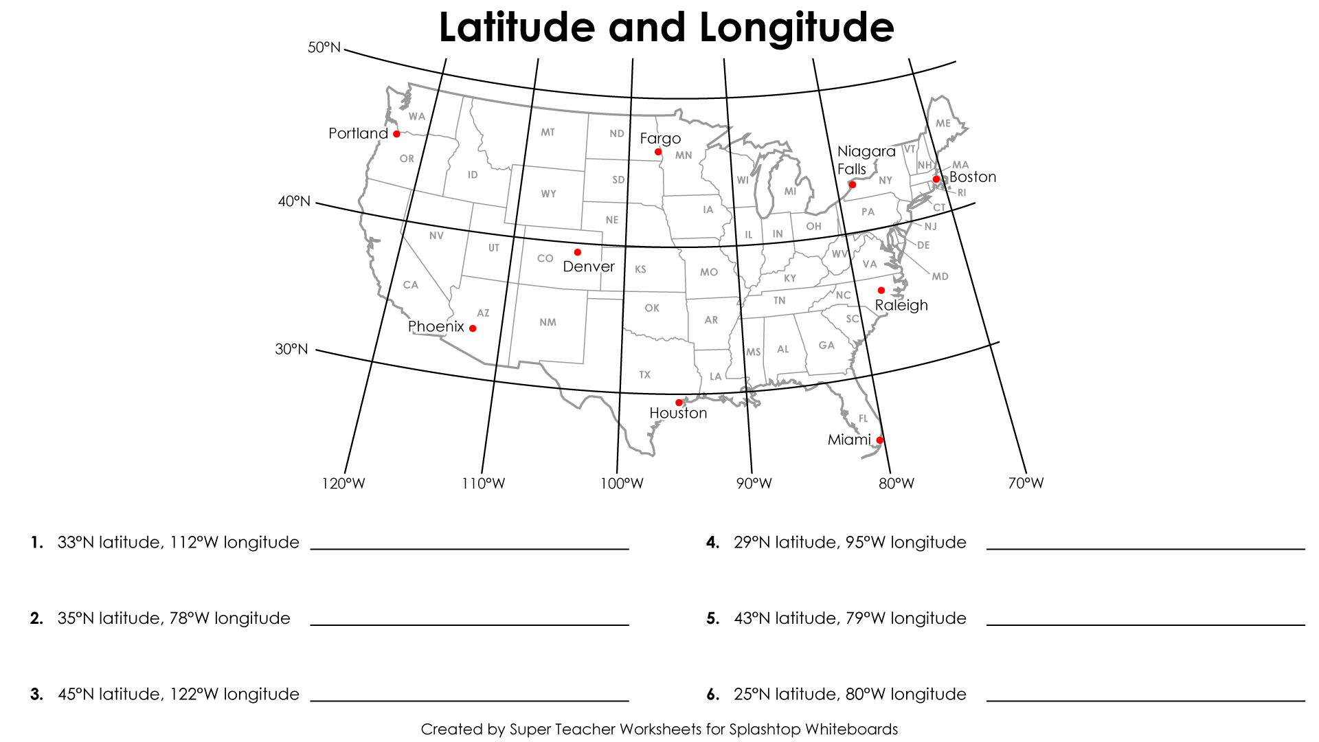
 USA Latitude and Longitude Worksheet
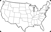
 United States Map Fill in Worksheet
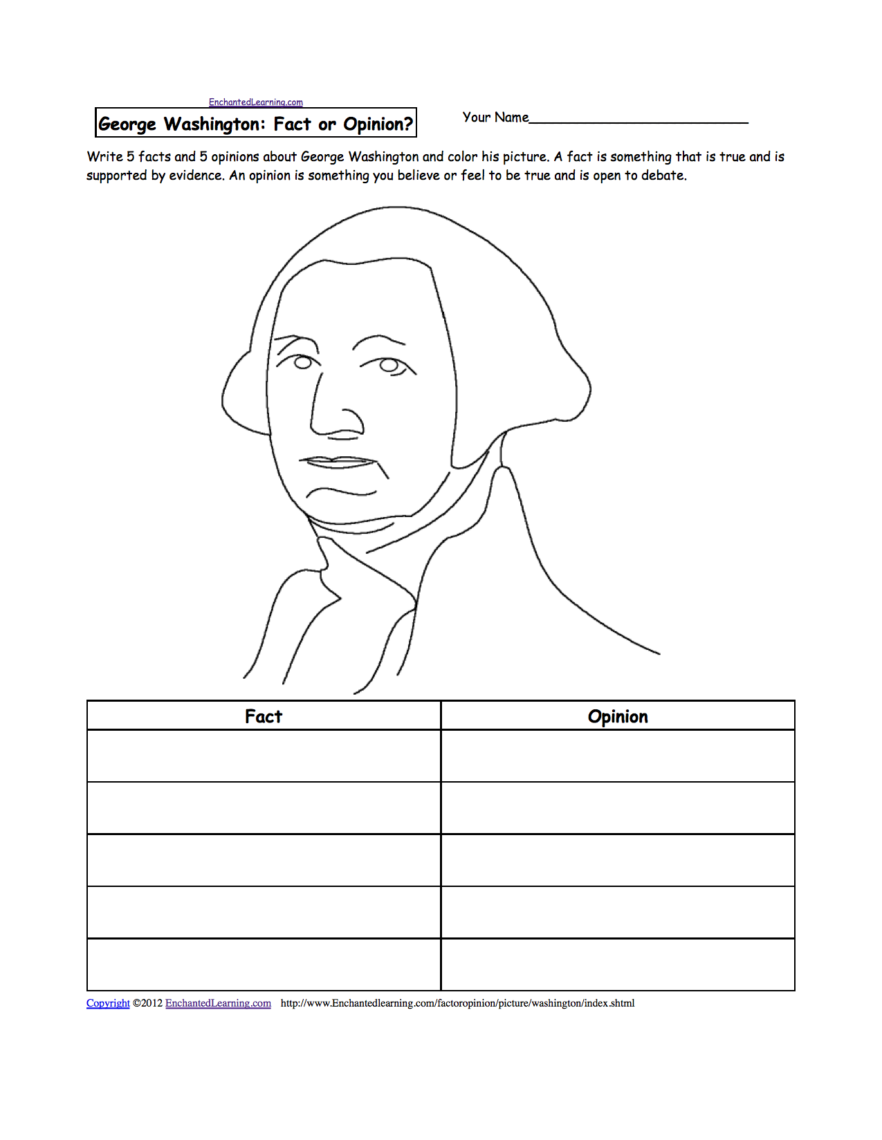
 George Washington Worksheets

 Crossword Puzzle Answer Key
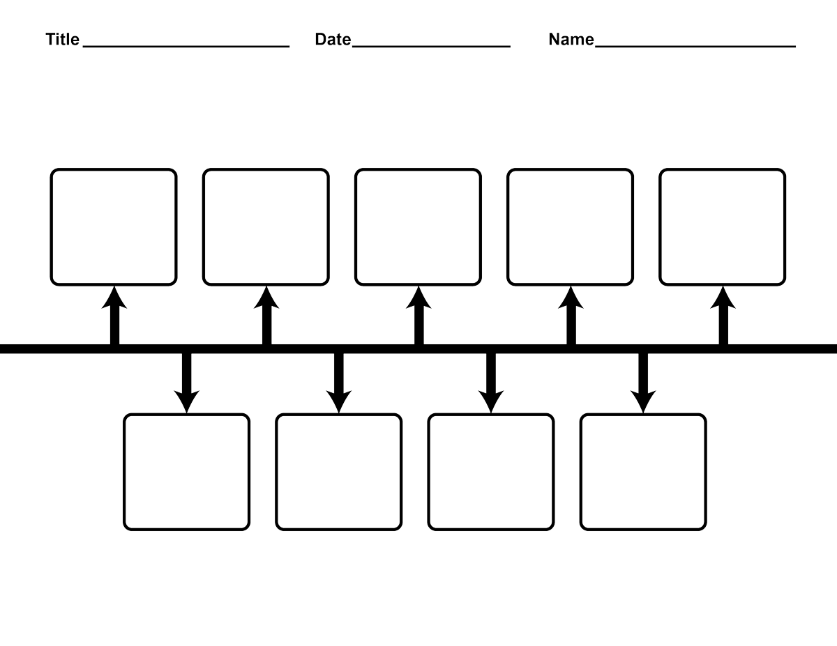
 Printable Blank Timeline Template

 Rocks and Minerals Concept Map
 Fall Tree Printable Templates
More Other Worksheets
Kindergarten Worksheet My RoomSpanish Verb Worksheets
Cooking Vocabulary Worksheet
DNA Code Worksheet
Meiosis Worksheet Answer Key
Art Handouts and Worksheets
7 Elements of Art Worksheets
All Amendment Worksheet
Symmetry Art Worksheets
Daily Meal Planning Worksheet
What is the capital of the United States?
The capital of the United States is Washington, D.C.
Name three states that border Mexico.
Three states that border Mexico are California, Arizona, and Texas.
Which state is known as the Sunshine State?
Florida is known as the Sunshine State.
Name two states located in the Great Lakes region.
Two states located in the Great Lakes region are Michigan and Ohio.
What is the largest state in terms of land area?
The largest state in terms of land area is Alaska.
Which state is home to the Grand Canyon?
The Grand Canyon is located in the state of Arizona in the United States.
Name two states that touch the Atlantic Ocean.
Maine and South Carolina are two states that touch the Atlantic Ocean.
What is the capital of California?
The capital of California is Sacramento.
Which state is known as the Last Frontier?
Alaska is known as the Last Frontier.
Name two states that have a coastline on the Pacific Ocean.
California and Oregon are two states that have a coastline on the Pacific Ocean.


Have something to share?
Who is Worksheeto?
At Worksheeto, we are committed to delivering an extensive and varied portfolio of superior quality worksheets, designed to address the educational demands of students, educators, and parents.


Comments